The system of lakes Kuyto, located in the north of Karelia, is formed by three interconnected lakes, stretching for 140 kilometers in an arc-like pattern. If you look at the map, on the western edge of the arc there will be Verkhneye Kuyto (The Upper Kuyto), on the top – Srednee Kuyto (The Middle Kuyto), in the east – Nizhneye Kuyto (The Lower Kuyto). The Upper Kuyto is connected to the Middle through an eight-kilometer narrow channel and a rather large lake called Alayarvi. The Kem River flows out of Lake Nizhneye Kuyto. The surface area of this lake system is over 600 km2.
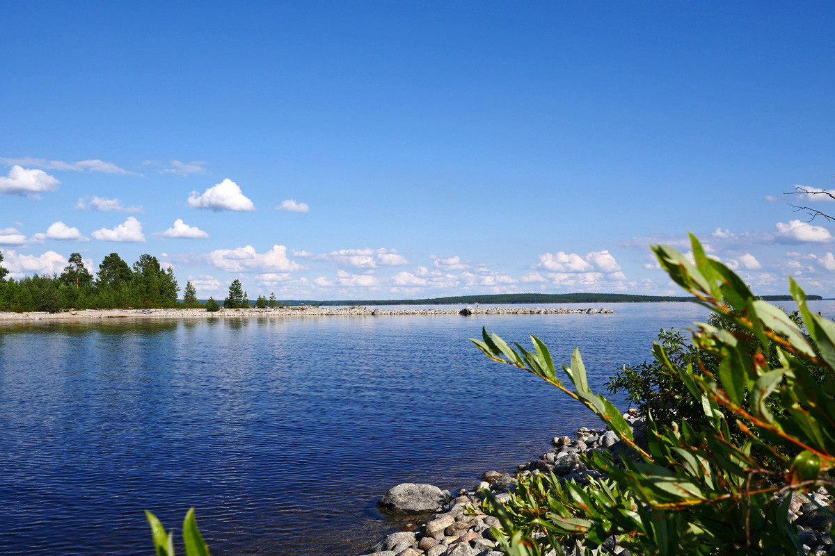
The largest of the three lakes is the Middle Kuyto. Its surface area is 257 square kilometers and depth up to 33 meters. The deepest, up to 44 meters, is Upper Kuyto. Nizhneye Kuyto is the smallest one, with mostly swampy shores. The lakes are studded with many islands.
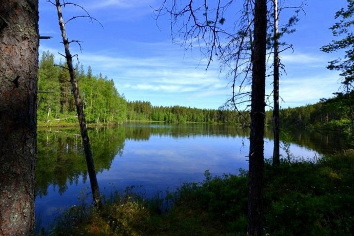
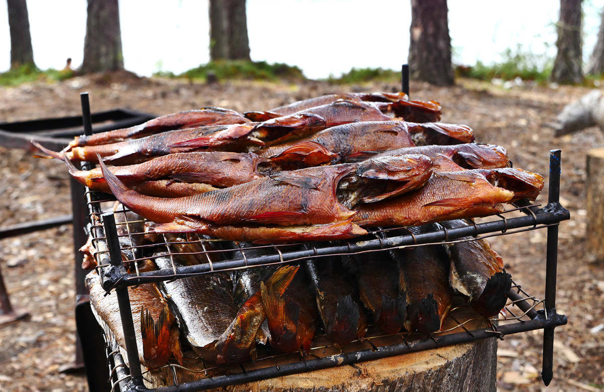
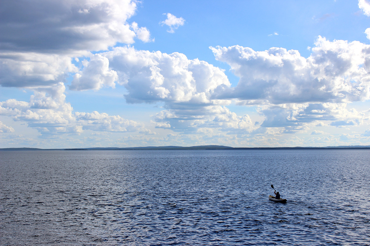
The lakes freeze in November, and the ice melts in May. Lakes shores are covered with forests with raspberry, blueberry, lingonberry and cranberry patches. During the trip you can meet a moose and a bear. There are a lot of fish in the lakes. It is easy to catch pike, perch, burbot, walleye, trout, grayling and salmon.
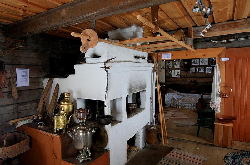
The area around the lakes is sparsely populated. The largest settlement on the lakes Lake Kuyto is the town of Kalevala, a home to about 4000 people and a unique museum of traditional runes’ narrators, who used to sing runes accompanied by the Finnish harp called kantele.
This is an easy adventure, suitable for novices, families with children, fishermen or anyone who loves to explore new territories.